
WHEN YOU NEED IT
CHECK OUT OUR SERVICES BELOW.

Energy

Energy
Drone solutions deliver detailed and accurate data of all components of the power grid, inspecting with 200x zoom, enabling timely and more consistent repairs, and reducting downtime.
Learn MoreOil & Gas
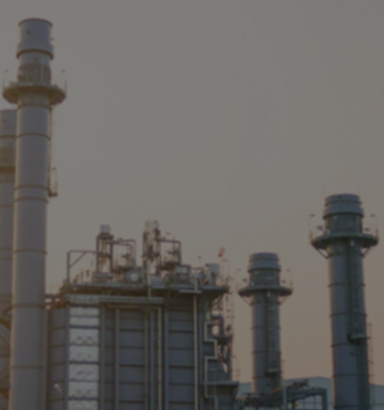
Oil & Gas
Drones collect data quickly and accurately to conduct long pipeline and site mapping/surveys to provide exploration and inform construction projects from a design standpoint.
Learn MoreThermal
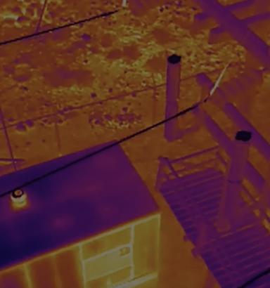
Thermal
Drones collect data quickly and accurately to conduct Thermal inspectings to provide infrared (TIR) region of the electromagnetic (EM) spectrum data.
Learn MoreCommercial Realestate
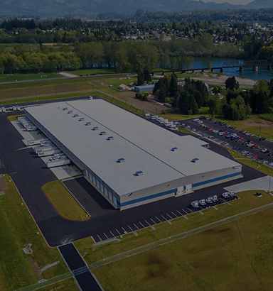
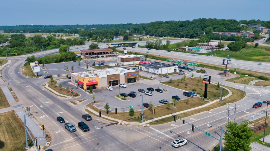
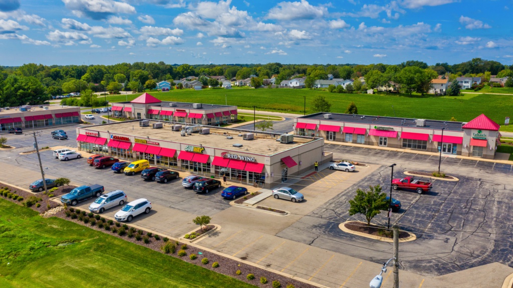
Commercial Realestate
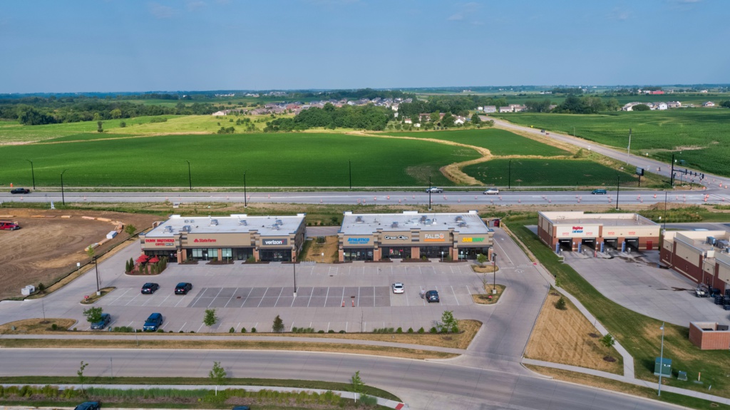
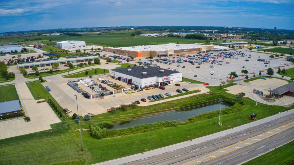
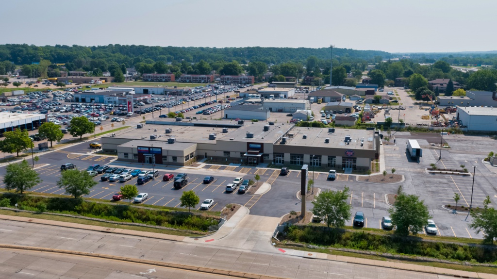
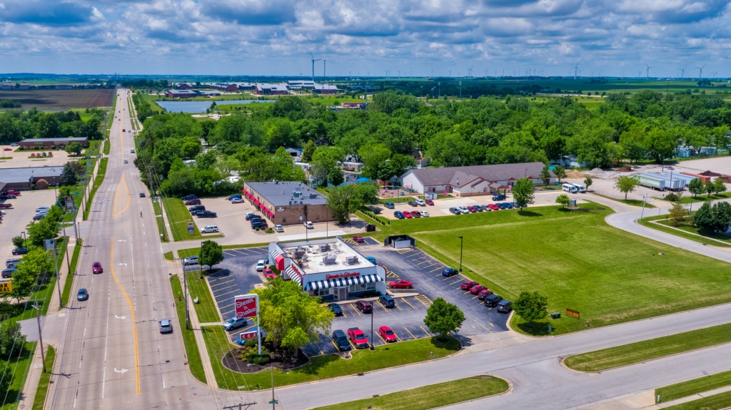
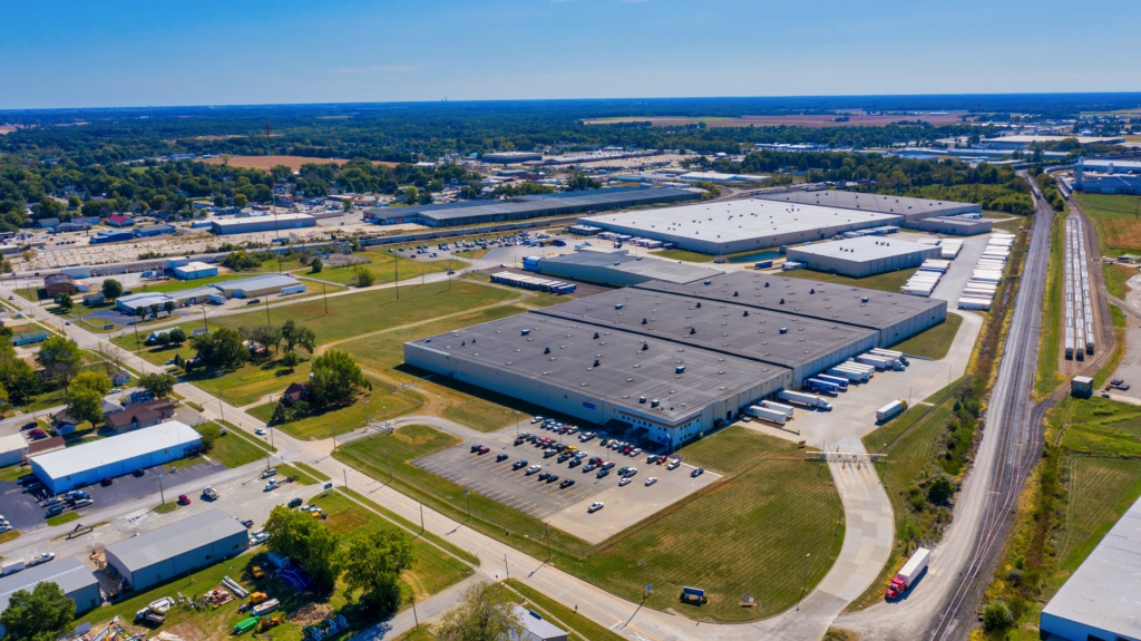
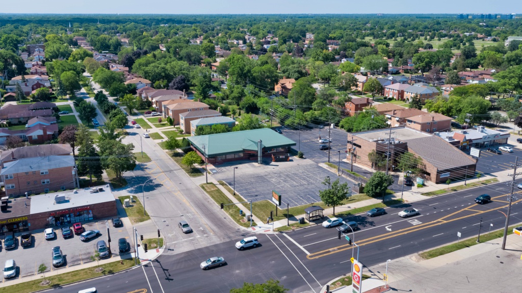
Drones provide a different perspective in the world and its surroundings to better market the property to the clients.
Learn MoreAgriculture
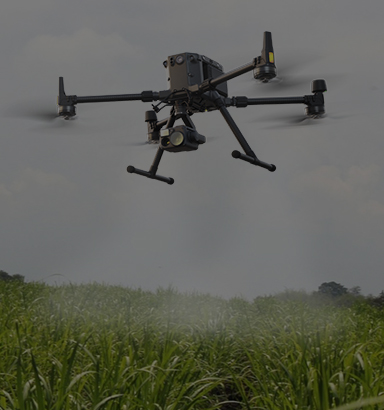
Agriculture
Drones provide fields investigating of crops more efficiently and providing accurate data for the client to better understand their crops.
Learn MoreENTERPRISE AERIAL SOLUTIONS
Drones are a powerful tool that provides incredible aerial data in a safe and efficient manner. Drones are most effective for Inspections such as Powerlines, Thermal & Agriculture as well as aerial Photography & Videography among other applications.
The FAA strictly regulates where drones are legally allowed to fly. All properties are subject to airspace approvals prior to project approval. We will request all proper FAA waivers and approvals prior to accepting your project.
PRE-APPROVAL
Your Project Starts With Detailed Analysis Prior To Approval
DATA COLLECTION
Upon Approval, Your Project Will Be Completed With The Right Drone and Post-Processing Software For The Job.
SATISFACTION
Quality Is Our Top Priority. You Approve The Data Collected Is Accurate.
ENTERPRISE AERIAL SOLUTIONS
Drones are a powerful tool that provides incredible aerial data in a safe and efficient manner. Drones are most effective for Inspections such as Powerlines, Thermal & Agriculture as well as aerial Photography & Videography among other applications.
The FAA strictly regulates where drones are legally allowed to fly. All properties are subject to airspace approvals prior to project approval. We will request all proper FAA waivers and approvals prior to accepting your project.
PRE-APPROVAL
Your Project Starts With Detailed Analysis Prior To Approval
DATA COLLECTION
Upon Approval, Your Project Will Be Completed With The Right Drone and Post-Processing Software For The Job.
SATISFACTION
Quality Is Our Top Priority. You Approve The Data Collected Is Accurate.

IF YOU HAVE AERIAL "JOB" BUT HAVE NO IDEA WHERE TO START
Let Us Know What You're Looking To Accomplish.
Type of Service You Are Inquiring About (Photogprahy, Thermal, Inspection, Surveying & Mapping) Location and the goal of the project.
Type of Service You Are Inquiring About (Photogprahy, Thermal, Inspection, Surveying & Mapping) Location and the goal of the project.
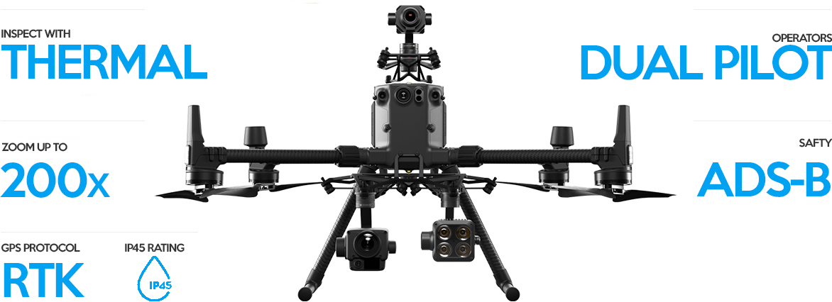
NEW STANDARD FOR COMMERCIAL DRONE INDUSTRY
We always strive to keep up to date with the latest technology to provide accurate and reliable data to our customers. There isn't a project that we cannot handle with our team of professionals.
CERTIFICATIONS

LIST OF ALL OUR SERVICES
We are always trying to stay up to date with current technology advancements as well as our product and services offerings that we provide which include but are not limited to the list of the following services.


